Meade LNT Instruction Manual Page 47
- Page / 60
- Table of contents
- BOOKMARKS
- Instruction Manual 1
- CONTENTS 3
- QUICK-START GUIDE 4
- HBX Port 5
- AutoStar Coil 5
- Cable Port 5
- Side View 6
- Rear View 6
- Computer Control Panel 6
- To Attach the Handbox Holder: 8
- AUTOSTAR FEATURES 9
- GETTING STARTED 12
- Battery 13
- Compartment 13
- Choosing an Eyepiece 14
- Using SmartFinder 14
- Aligning SmartFinder 15
- Aligning the Viewfinder 15
- OBSERVING 16
- Slew Speeds 17
- Observe the Moon 17
- Astronomical Observing 18
- Automatic Alignment 19
- Go To Saturn 20
- Using the Guided Tour 20
- BASIC AUTOSTAR OPERATION 21
- Entering Data into AutoStar 22
- Navigating AutoStar 22
- LX90 TIPS 22
- AUTOSTAR’S MENUS 23
- MENUS AND MENU OPTIONS 24
- Event Menu 25
- Glossary Menu 25
- Utilities Menu 25
- Observing Considerations 26
- Setup Menu 27
- Table 1: Time Zone Shift 28
- ADVANCED AUTOSTAR FEATURES 30
- 31
- Landmarks 36
- Identify 37
- Advanced Alt/Az Alignment 37
- PHOTOGRAPHY WITH THE LX90 39
- Fig. 17: The Lunar 40
- Planetary Imager 40
- Fig. 16: Meade Deep 40
- Sky Imager 40
- OPTIONAL ACCESSORIES 41
- MAINTENANCE 43
- LX90 Specifications 46
- AutoStar Specifications 46
- AutoStar Dimensions 46
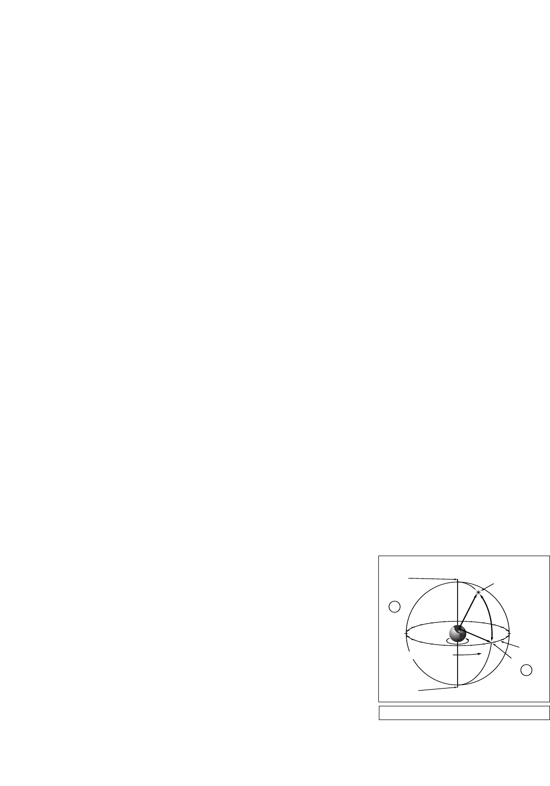
- Polar Alignment 47
- Celestial Coordinates 47
- Little Dipper 48
- Cassiopeia 48
- EQUATORIAL WEDGE 49
- Precise Polar Alignment 50
- Star Charts 51
- APPENDIX B: HELPFUL CHARTS 52
- Further Study 53
- MEADE LIMITED WARRANTY 60
Related products and manuals for Telescopes Meade LNT
 (40 pages)
(38 pages)
(20 pages)
(18 pages)
(12 pages)
(64 pages)
(72 pages)
(44 pages)
(14 pages)
(19 pages)
(64 pages)
(16 pages)
(3 pages)
(40 pages)
(38 pages)
(20 pages)
(18 pages)
(12 pages)
(64 pages)
(72 pages)
(44 pages)
(14 pages)
(19 pages)
(64 pages)
(16 pages)
(3 pages)
© 2020, manymanuals.com. All rights reserved. | 1.534 s |
 Manymanuals.com
 Manymanuals.de
 Manymanuals.fr
 Manymanuals.it
 Manymanuals.pl
 Manymanuals.cz
 Manymanuals.es
 Manymanuals-pt.com
Comments to this Manuals